Piaggio 180 at KCMD
Home About Airport Info Links Contact

Cullman
Regional
Airport

Airport Information

Runway | Hangers | Fuel Island | Communications | Maps

Runway

Runway 2 on approach
Runway 2 - Larger View
Runway 20 on approach
Runway 20 - Larger View
Side view aerial of airport
Runway 20 - Larger View
Aerial Video


Runway 2
Lattitude 34-15.687493N
Longitude 086-51.637463W
Elevation 934.2ft
Gradient 0.6% UP
Traffic Pattern Left
Runway Heading 018 Magnetic, 017 True
Markings Non-precision (good condition)
Visual Slope Indicator 2-light PAPI on left (3.77° glide path)
Runway End Identifier Lights Yes
Touchdown Point Yes, No Lights
Obstructions 
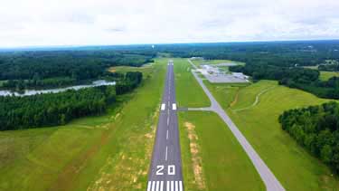
32ft trees... 1,710ft from runway, 4ft left of centerline, 47:1 slope to clear
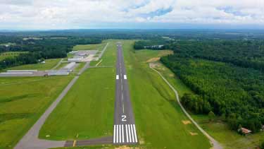
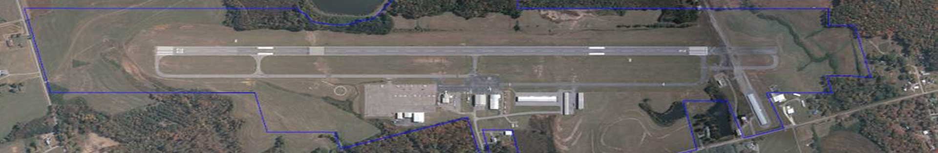
Runway 20
Lattitude 34-16.556650N
Longitude 086-51.327013W
Elevation 969.2ft
Gradient 0.1% UP
Traffic Pattern Left
Runway Heading 198 Magnetic, 197 True
Markings Non-precision (good condition)
Visual Slope Indicator 2-light PAPI on left (3.00° glide path)
Runway End Identifier Lights Yes
Touchdown Point Yes, No Lights
Obstructions 36ft trees... 1,644ft from runway, 77ft left of centerline, 40:1 slope to clear
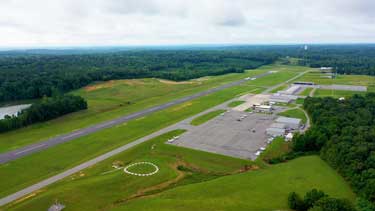
Hangars

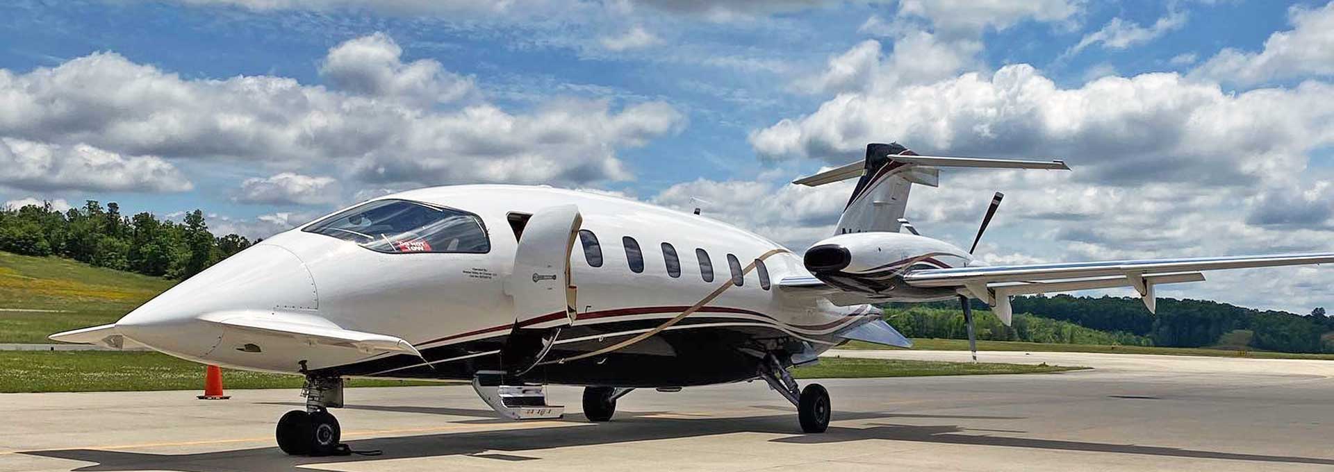
Cullman Regional Airport currently has 10 Corporate hangars and 56 T-Hangers. KCMD is an airport that is always moving forward to meet the needs of our clients.

Please call the airport at (256)775-1011 for pricing and availability.


Fuel Island

Epic Fuels Logo

We proudly serve Epic Fuels!

For your convenience, we currently offer the following services:


Communiciation Frequencies

UNICOM: 122.80

AWOS: 124.175 - (256)775-7476

overhead Aerial View of KCMD

Maps

NOT FOR NAVIGATION! Please procure official charts for flight.